We invite you to Pößneck, Ranis and Krölpa to learn about the geological features of this charming landscape on our geo adventure trail.
The hike leads around several former submarine reefs. It starts either at the castle hill Ranis, which is also a reef, or at the stop Krölpa-Ranis. From there you walk along the reefs of the Pinsenberg, the Hausberg and the Brandenstein.
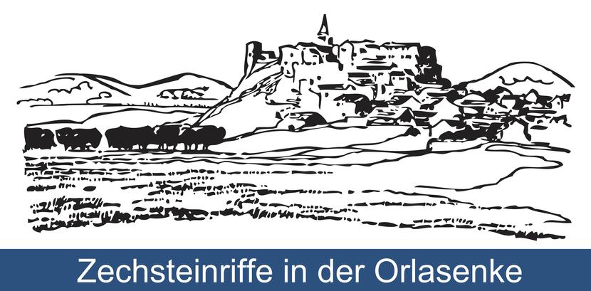
At the time of the Zechstein (Upper Permian, 258 million years ago) the coast of a sea was located here. This coast was preceded by reefs. For the attentive observer, these reefs, which existed millions of years ago, can still be seen in the landscape today. They form distinct elevations, mountains and cliffs made of light limestone. Some of them are forested. On others, dry and semi-dry grasslands grow with limestone-loving flora.
Bats and other species worthy of protection live in the caves of the limestone cliffs. The varied landscape and the diverse fauna and flora of these former reefs are what make the Orla Valley in the Pößneck-Ranis-Krölpa area and beyond so attractive.
If you would like to learn more about geology and archaeology, please visit the exhibition at the Museum castle Ranis.
The geo adventure path Zechsteinriff Pinsenberg is designed as a circular trail and has a length of 5.5 km and can be hiked in 1.5 to 2 hours. The sum of all ascents and descents amounts to 160 meters in altitude. A clockwise hike is recommended. The path is suitable for families with children. However, it is only partially asphalted and therefore only limited usable for strollers or wheelchairs.
The bilingualism of the pages was realized by Joscha Koenen in 2021 together with the establishment and opening of the circular hiking trail within the framework of the project "Implementation of the Geo-Erlebnispfad Zechsteinriff Pinsenberg" funded by the Free State of Thuringia.


